Canal des 2 Mers by bike - Atlantic / Mediterranean sea
Vitrezay / Blaye
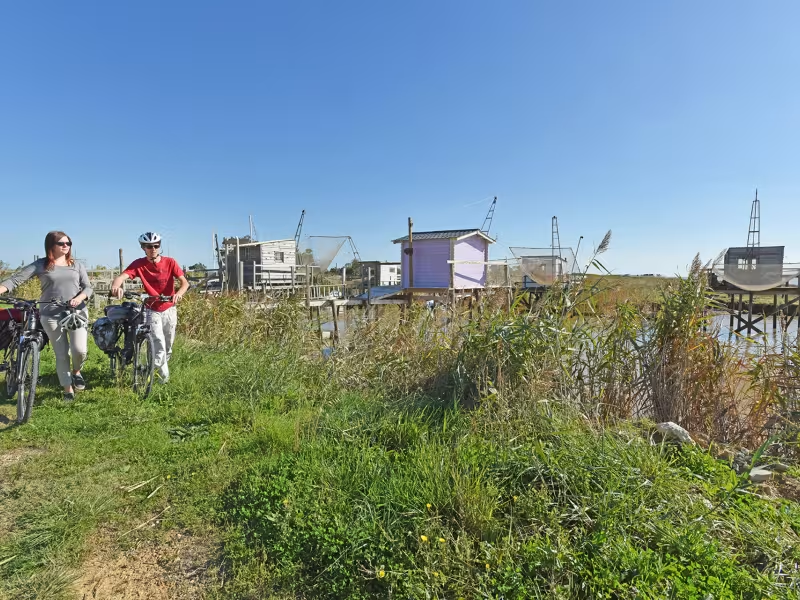
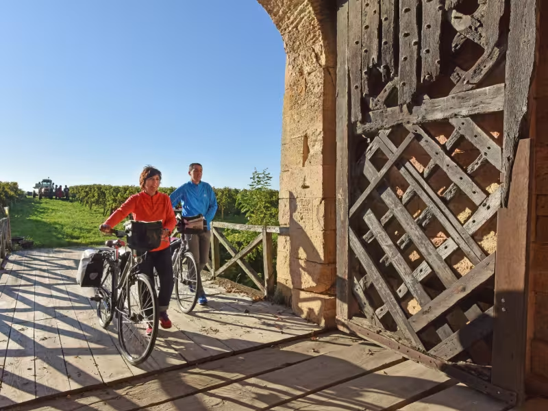
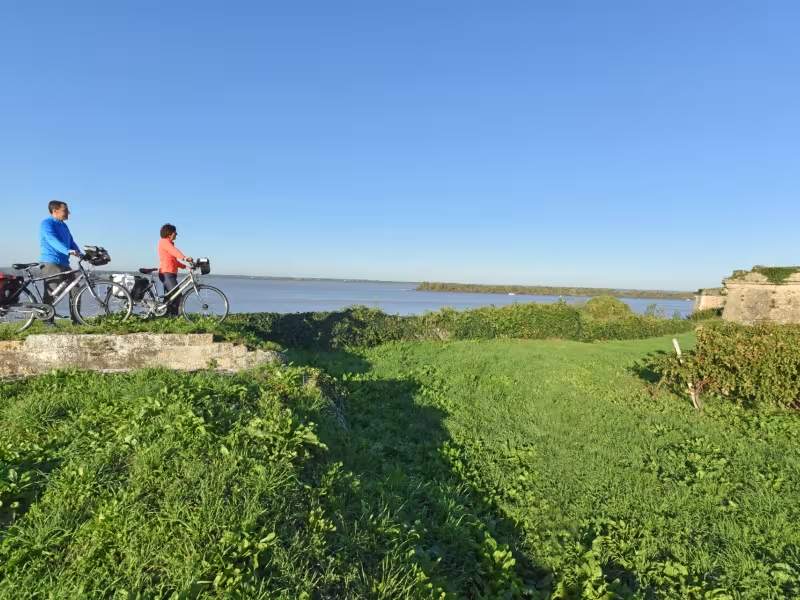
Reaching the port of Vitrezay, you leave the département (French county) of Charente-Maritime, continuing on the Canal des 2 Mers à Vélo cycle route into the département of Gironde. Bypassing the electricity-producing nuclear power station of the Blayais, a beautiful greenway leads to Blaye and its citadel designed by the great 17th-century engineer Vauban. The citadel and other forts along the Gironde remind you of warring times. A small ferry crosses the estuary from Blaye to Lamarque.
Gradients and elevation
Ascents: 69m
Descents: 64m
Lowest point: 0m
Highest point: 33m
Slope breakdown
4km gentle descent (-5% to -1%)
36km flat (-1% to 2%)
Road types
12km (30%) of cycle paths
28km (70%) of shared roads
- Cycle path
- Routes reserved for cyclists and pedestrians (greenways, cycle tracks, towpaths), separated from cars for maximum safety.
- Shared road
- Quiet minor roads with little traffic (unless otherwise stated in the stage details). Shared with cars (stay alert).
- Not specified
- Data unavailable or being assessed. Please refer to the detailed stage description.
- Provisional
- Section on a road or cycle path awaiting better-quality facilities (see stage details).
Surface
39km (100%) of smooth surface
- Smooth
- Asphalt, tarmac or smooth concrete. Optimal comfort.
- Rough
- Fine gravel, compacted stabilised surface or worn tarmac. Less comfortable, vibrations possible.
- Natural
- Dirt, grass, roots or stones. Under 5%: short sections with little impact. Higher percentage: route suited to mountain or gravel bikes only.
- Not specified
- Data unavailable or being assessed. Please refer to the detailed stage description.
The route
From Vitrezay, the route is not signposted up to Etauliers, but there you join a greenway to Blaye.
SNCF train station
No station on this stage
Ferry crosses the estuary
A small ferry crosses the estuary from Blaye to Lamarque.
Check timetables
Tourist offices