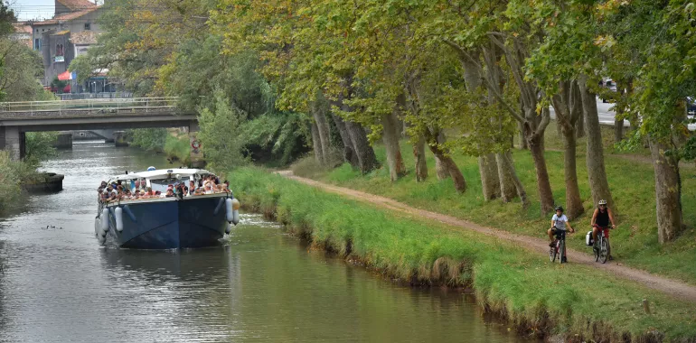
26,10 km cycling route from Béziers to Agde
Elevation of the stage
Waytypes of the stage
Surface of the stage
The route
The first part of the stage makes for easy cycling on the towpath to the Roque Haute bridge. At this point, the route leaves the canal to take a temporary section (with signage) on small road, before reaching the banks of the Hérault up to the city centre of Agde.
Additional route
At the level of Pont de Roque Haute, there is a cycle track to Portiragnes Beach.
SNCF train stations
Béziers train station:
TER regional trains and Intercités trains serve > Narbonne/Carcassonne/Toulouse/Bordeaux; Agde/Sète/Montpellier (numerous trains daily); Avignon/Marseille (3 to 4 trains daily).
Vias train station:
TER regional trains serve > Béziers ; Agde (2 to 5 trains daily)
Agde train station:
TER regional trains serve > Béziers/Narbonne/Carcassonne/Toulouse; Sète/Montpellier (numerous trains daily)
Connnections at Béziers for Millau/ Rodez/ Clermont-Ferrand.
Connections at Montpellier for Lyon/Paris; Nîmes/Alès/Clermont-Ferrand.


Travellers’ reviews